
Topografisk kort Mahé
Interaktivt kort
Klik på kortet for at se højden.
Om dette kort
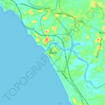
Navn: Topografisk kort Mahé, højde, terræn.
Sted: Mahé, Mahe Taluk, Mahé District, Puducherry, 673310, Indien (11.66220 75.49647 11.74220 75.57647)
Gennemsnitshøjde: 10 m
Minimum højde: -1 m
Maksimal højde: 62 m