

Topografisk kort Walton
Klik på kortet for at se højden.
Walton
Walton Hall was built in c.1740–1750 and rebuilt and extended in c.1799 as evidenced by a date stone which is initialled for the contemporary owner Anthony Collett. The building has been known as Walton Hall from c.1813 when the original manorial complex which lay in Walton Village to the east was demolished. The building is set back from the High Street, towards which the front elevation faces
Om dette kort
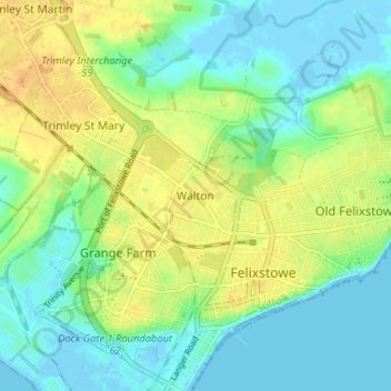
Navn: Topografisk kort Walton, højde, terræn.
Sted: Walton, Felixstowe, Suffolk, England, IP11 9DT, United Kingdom (51.95180 1.32021 51.99180 1.36021)
Gennemsnitshøjde: 12 m
Minimum højde: -3 m
Maksimal højde: 27 m