Topografisk kort Pirk
Klik på kortet for at se højden.
Pirk
Sonstige Wohnplätze: Am Sonnenbühl | Haidthöhe
Om dette kort
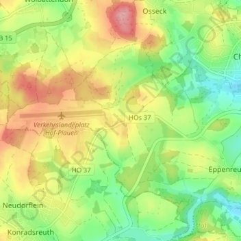
Navn: Topografisk kort Pirk, højde, terræn.
Sted: Pirk, Hof, Bayern, 95176, Deutschland (50.26745 11.84908 50.30745 11.88908)
Gennemsnitshøjde: 560 m
Minimum højde: 504 m
Maksimal højde: 627 m
Andre topografiske kort
Klik på et kort for at se dets topografi, dets højde og dets terræn.