

Topografisk kort Hochplatte
Klik på kortet for at se højden.
Om dette kort
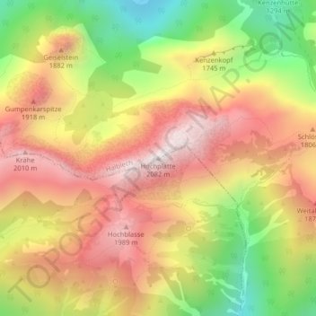
Navn: Topografisk kort Hochplatte, højde, terræn.
Sted: Hochplatte, Halblech, Landkreis Ostallgäu, Bayern, Deutschland (47.55222 10.84200 47.55232 10.84210)
Gennemsnitshøjde: 1.646 m
Minimum højde: 1.151 m
Maksimal højde: 2.053 m