
Topografisk kort Bandan Hurip
Klik på kortet for at se højden.
Om dette kort
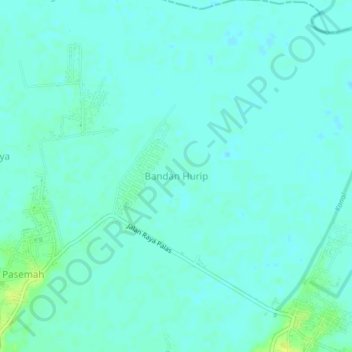
Navn: Topografisk kort Bandan Hurip, højde, terræn.
Sted: Bandan Hurip, Lampung Selatan, Lampung, Sumatra, Indonesia (-5.63139 105.68907 -5.59139 105.72907)
Gennemsnitshøjde: 4 m
Minimum højde: -1 m
Maksimal højde: 16 m
Andre topografiske kort
Klik på et kort for at se dets topografi, dets højde og dets terræn.