

Topografisk kort Downside
Klik på kortet for at se højden.
Om dette kort
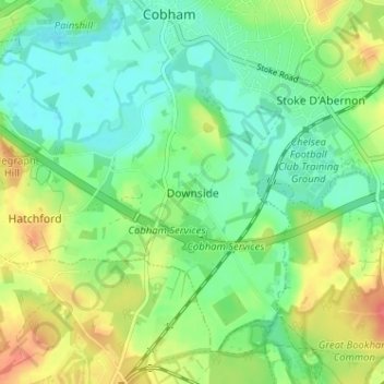
Navn: Topografisk kort Downside, højde, terræn.
Sted: Downside, Elmbridge, Surrey, England, KT11 3NU, United Kingdom (51.29137 -0.42817 51.33137 -0.38817)
Gennemsnitshøjde: 35 m
Minimum højde: 14 m
Maksimal højde: 70 m
Andre topografiske kort
Klik på et kort for at se dets topografi, dets højde og dets terræn.

Cobham
United Kingdom > England > Surrey > Elmbridge
The River Mole runs through Cobham, with a visitor area and well-surfaced path by the mill in the High Street, dividing the low-rise urban village/town centre from the remaining agricultural parts of Cobham in the west and south. This can flood small, old parts of the village centre in extreme rainfall.…
Gennemsnitshøjde: 28 m


Esher
United Kingdom > England > Surrey > Elmbridge
Esher is an outlying suburb of London, close to the London–Surrey border; with Esher Commons at its southern end, the town marks one limit of the Greater London Built-Up Area. Esher has a linear commercial high street and is otherwise suburban in density, with varying elevations, few high rise buildings and…
Gennemsnitshøjde: 21 m


