Topografisk kort Owen Stanley Range
Interaktivt kort
Klik på kortet for at se højden.
Om dette kort
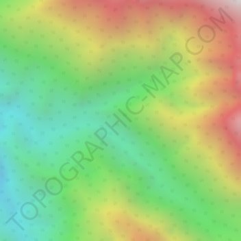
Navn: Topografisk kort Owen Stanley Range, højde, terræn.
Gennemsnitshøjde: 2.450 m
Minimum højde: 1.824 m
Maksimal højde: 3.247 m

Klik på kortet for at se højden.
Navn: Topografisk kort Owen Stanley Range, højde, terræn.
Gennemsnitshøjde: 2.450 m
Minimum højde: 1.824 m
Maksimal højde: 3.247 m